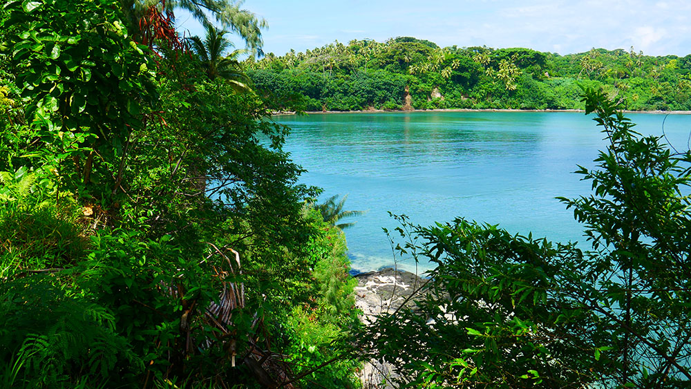
Anticipated sea level rise in coastal regions is expected to worsen the impact of coastal hazards such as erosion, inundation and flooding from storm surges. Accordingly, the resulting impacts on coastal settlements and infrastructure will be widespread. These impacts are particularly critical in small islands as the settlements and infrastructure are mainly located along coastlines with almost no, or very limited relocation options.
Identification and assessments of coastal hazards are critical for planning and developing effective management strategies to protect lives and properties exposed to coastal hazards.
We have developed an integrated tool for predicting shoreline changes due to sea-level rise and assessing the implications of adaptation measures at Port Resolution in Tanna Island. We predicted the rate and spatial distribution of the island’s shoreline change and mapped them under a range of sea-level rise scenarios.
Our analysis shows that Relative Sea Level Rise is the most influential factor followed by Coastal slope and Geomorphology over the shoreline changes. Our findings as reported in this research paper could support risk-based adaptation planning and subsequently, localised land-use planning decisions.
The developed tool/model offers instrumental insights for the spatially explicit analysis of factors affecting shoreline changes and can be used by decision-makers to develop and prioritise effective management options.
Our tool/model can also be applied to a range of environmental management problems, where either physical data is unavailable or difficult to collect, assessment budgets are limited, or local conditions are challenging for physical data collection. Moreover, it provides a user-friendly and low-cost visual assessment of environmental conditions and risks for various scenarios that would aid decision-makers to narrow down the scope of subsequent expensive detailed physical modelling assessments.

Publication
Sahin, O., Stewart, R. A., Faivre, G., Ware, D., Tomlinson, R., & Mackey, B. (2019). Spatial Bayesian Network for predicting sea level rise induced coastal erosion in a small Pacific Island. Journal of Environmental Management, 238, 341–351. https://doi.org/10.1016/j.jenvman.2019.03.008
Acknowledgements
This research was made possible by programme funding through the Pacific Ecosystem-based Adaptation to Climate Change (PEBACC) project, a five-year initiative implemented by the Secretariat of the Pacific Regional Environment Programme (SPREP) in partnership with the governments of Fiji, Solomon Islands and Vanuatu and the funding support of the German Federal Ministry for the Environment, Nature Conservation, Building and Nuclear Safety. Research specific to the Republic of Vanuatu is enabled by a Research Agreement between the Vanuatu National Cultural Council and Griffith University through the Griffith Climate Change Response Program (17/05/2018).
About the lead author:
Dr. Oz Sahin
Systems modeller and Senior Research Fellow in School of Engineering and Built Environment.
Request a copy of the article
If the download article link below doesn’t work, or leads to a page that requests payment, please click the link to the author profile above and request a copy directly and they will be happy to assist. Not all reviewed journal articles are published as ‘open access’, which are free to download.
